Choose your precision: Radius
Radius names five cities and asks you to place a circle on the map. Choose a radius of 1,500, 500, 100 or 25 km for 1, 3, 6 or 10 points. Any touch or overlap with the city limits counts. Everyone gets the same five cities at midnight Eastern; yesterday is free and Premium unlocks older archived puzzles.
Country-map deduction: Mapfold
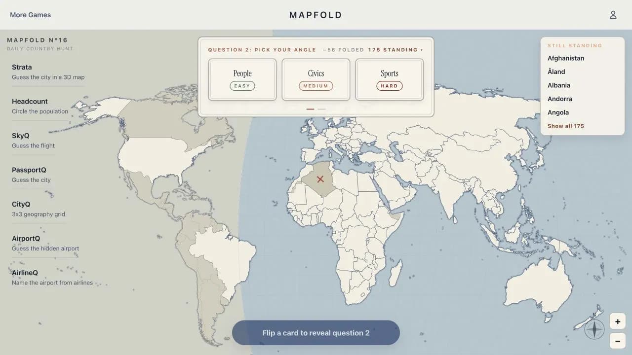
Mapfold is a free daily map game built around country deduction. One country is hidden, each question divides the remaining possibilities, and every wrong guess folds the ruled-out part of the world map away. It rewards reading hemisphere, population, coastline, area, and neighboring-country clues instead of recognizing a photo.
Real flight maps: Vector
Vector turns five real recorded flight tracks into a daily aviation map game. Some rounds hide the destination; others show both airports and hide where the aircraft was part-way through the flight. One pin answers each question, and the route's real curve matters more than the straight line a flat map suggests.
Population maps: Headcount
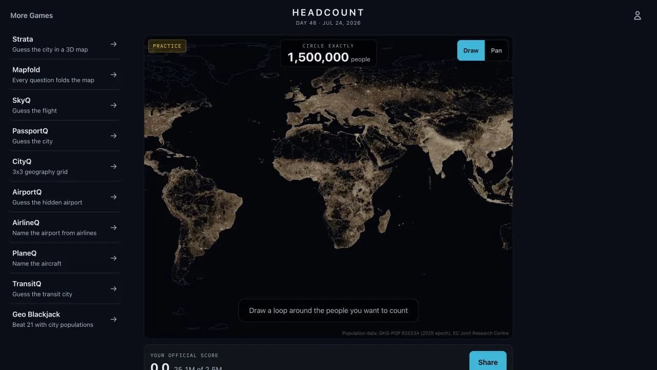
Headcount turns a real population-density surface into a population map game. Draw one loop anywhere in the world and try to enclose the day's target number of people. The challenge is spatial: compare bright urban clusters, coastlines, river valleys, and sparse regions before committing one official shape.
3D city maps: Strata
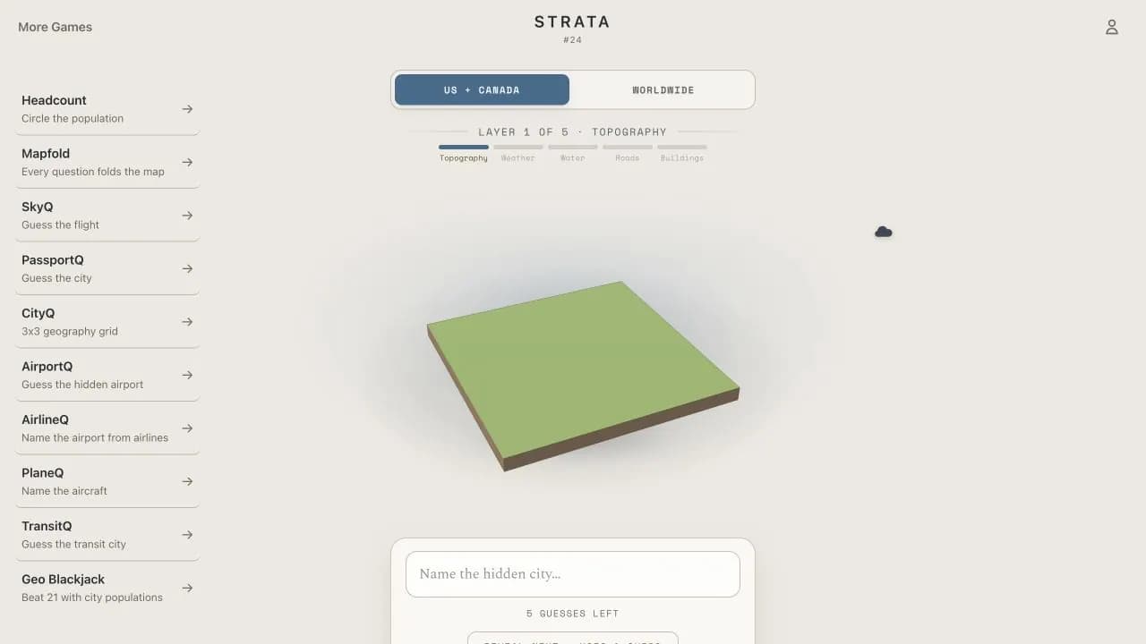
Strata rebuilds one mystery city as an interactive 3D map. It begins with bare elevation, then reveals weather, water, roads, and buildings after wrong guesses. The changing terrain makes it an online map game about reading landforms and city structure rather than memorizing place facts.
Airport and transit maps: AirportQ and TransitQ
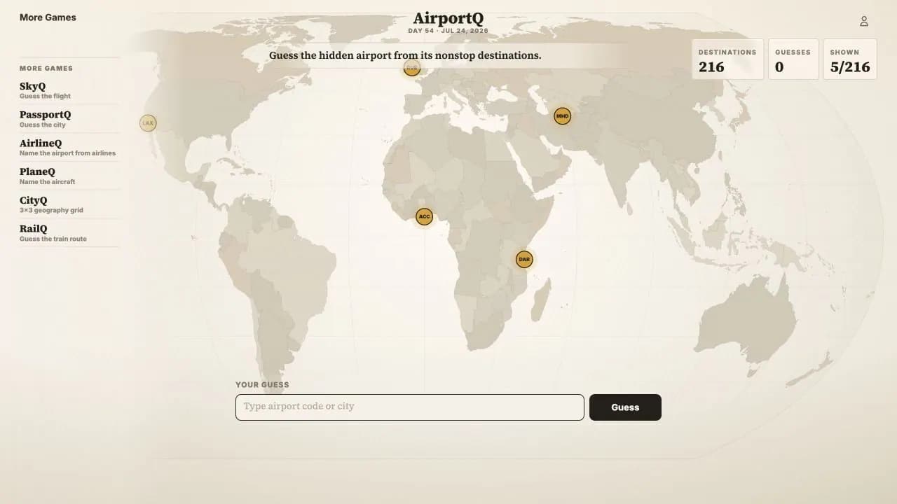
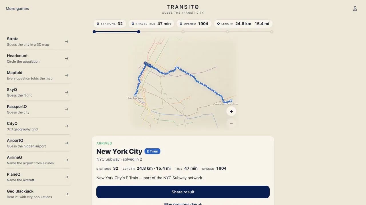
AirportQ hides an airport behind the shape of its real nonstop network, while TransitQ strips the labels from a real metro or light-rail line. Both map guessing games ask you to read connections, range, station spacing, coastlines, and regional patterns until the location becomes clear.
Border maps: Borderline
Borderline turns the political map into a survival chain. Name a country or U.S. state that borders the previous answer, avoid repeats, and keep exits open as the map fills in. Dead ends force a jump to the closest unused place, so border knowledge and route planning matter equally.