Guide
Route maps instead of road photos
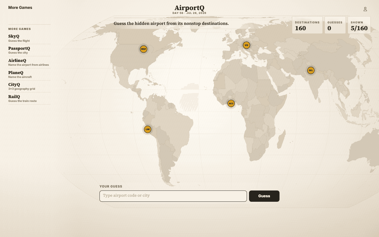
AirportQ hides an airport behind its nonstop destination map. The pattern of routes, range, hub density, and regional connections becomes the visual clue, so the map itself still does the work.
Distance and direction as map feedback
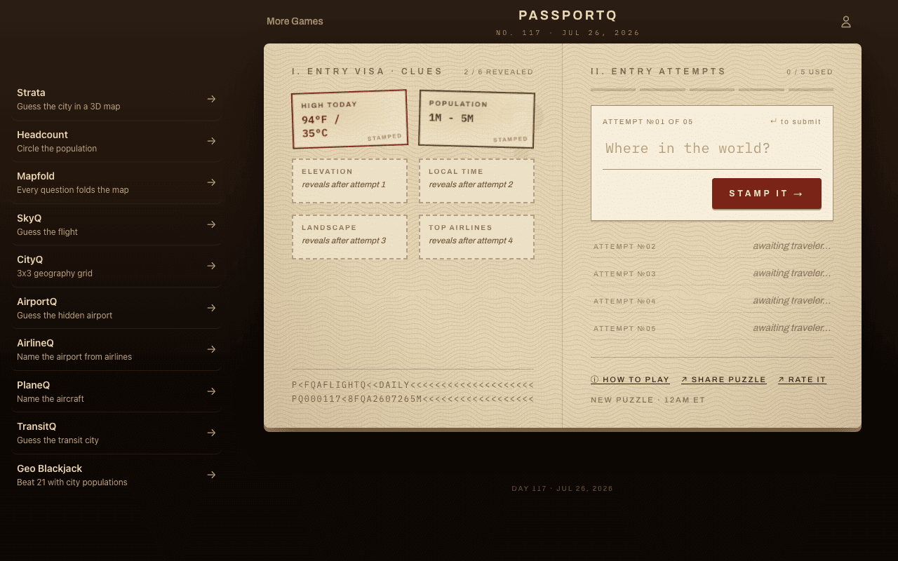
PassportQ gives the classic where-in-the-world loop without Street View: guess a city, then move by distance and compass direction until the answer comes into focus.
Population maps teach scale
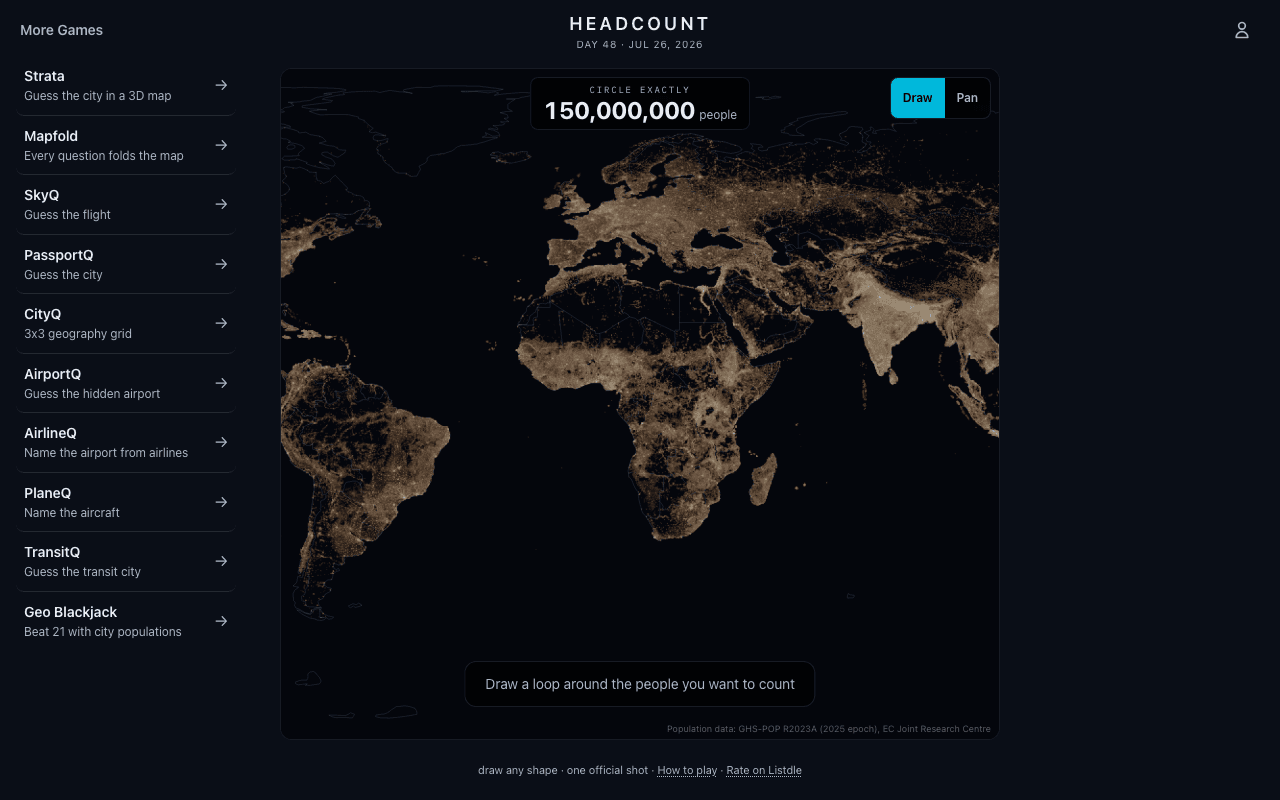
Headcount turns population density into a map-drawing puzzle. You learn where people cluster, where land is sparse, and why city size is not the same thing as geographic area.
Borders and routes add logic
Customs tests political and physical geography through rules, while RailQ and Layover use transport networks. These are map games for reasoning, not just recognizing a screenshot.