A real city as a 3D model
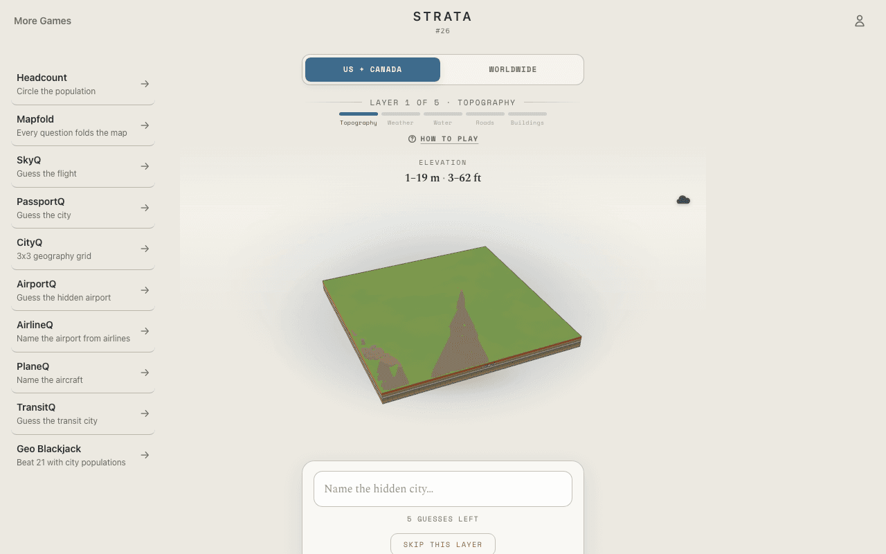
This is not a flat map with shading. Strata rebuilds the actual shape of a real city in 3D — its hills, coastline, river, and street grid, with buildings rising at real footprints and heights on the final layer. You can move around the model and study it from different angles, which is often exactly how the answer clicks: a bay opens from one side, a ridgeline lines up from another.
Five layers, five guesses
The model starts as bare terrain built from real elevation data. Each wrong guess peels back the next layer — weather, then water, then roads, then buildings — so the city comes into focus exactly as fast as you fail to recognize it. Naming it from raw landforms is the purist's win; needing the skyline still counts.
Wrong guesses steer you
Every miss tells you how far your guess was from the answer, which turns the 3D reading into triangulation. Guess a city with similar terrain, learn you are a continent off, and the next layer suddenly reads completely differently.
3D in the browser, no install
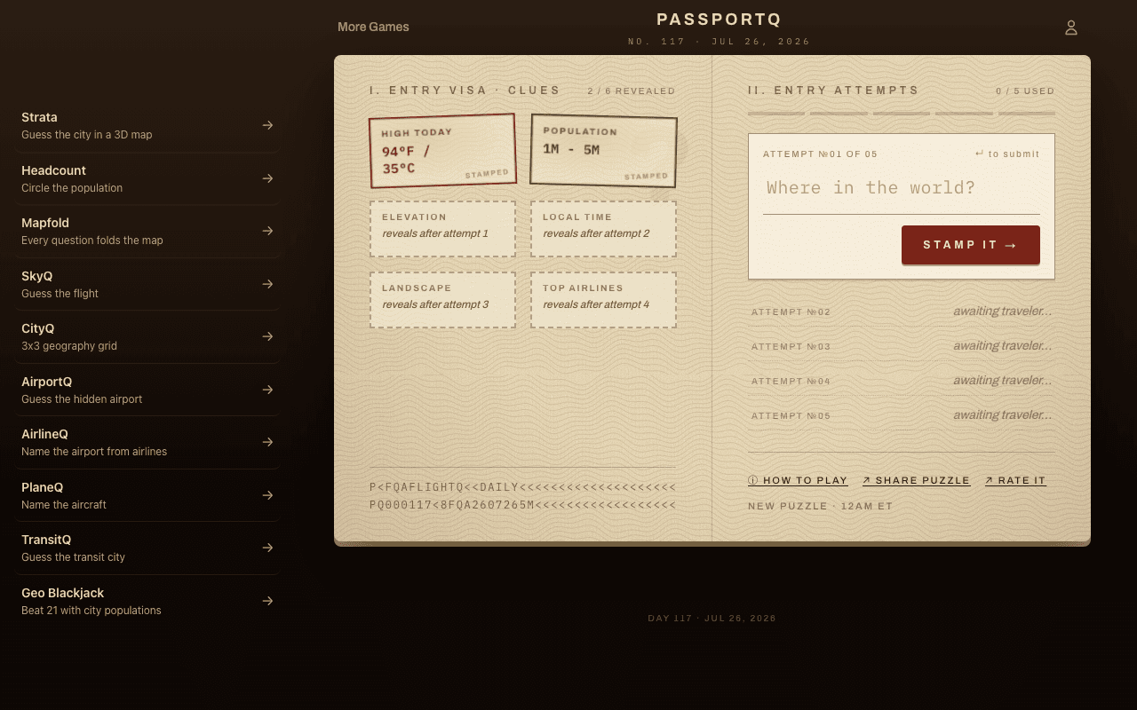
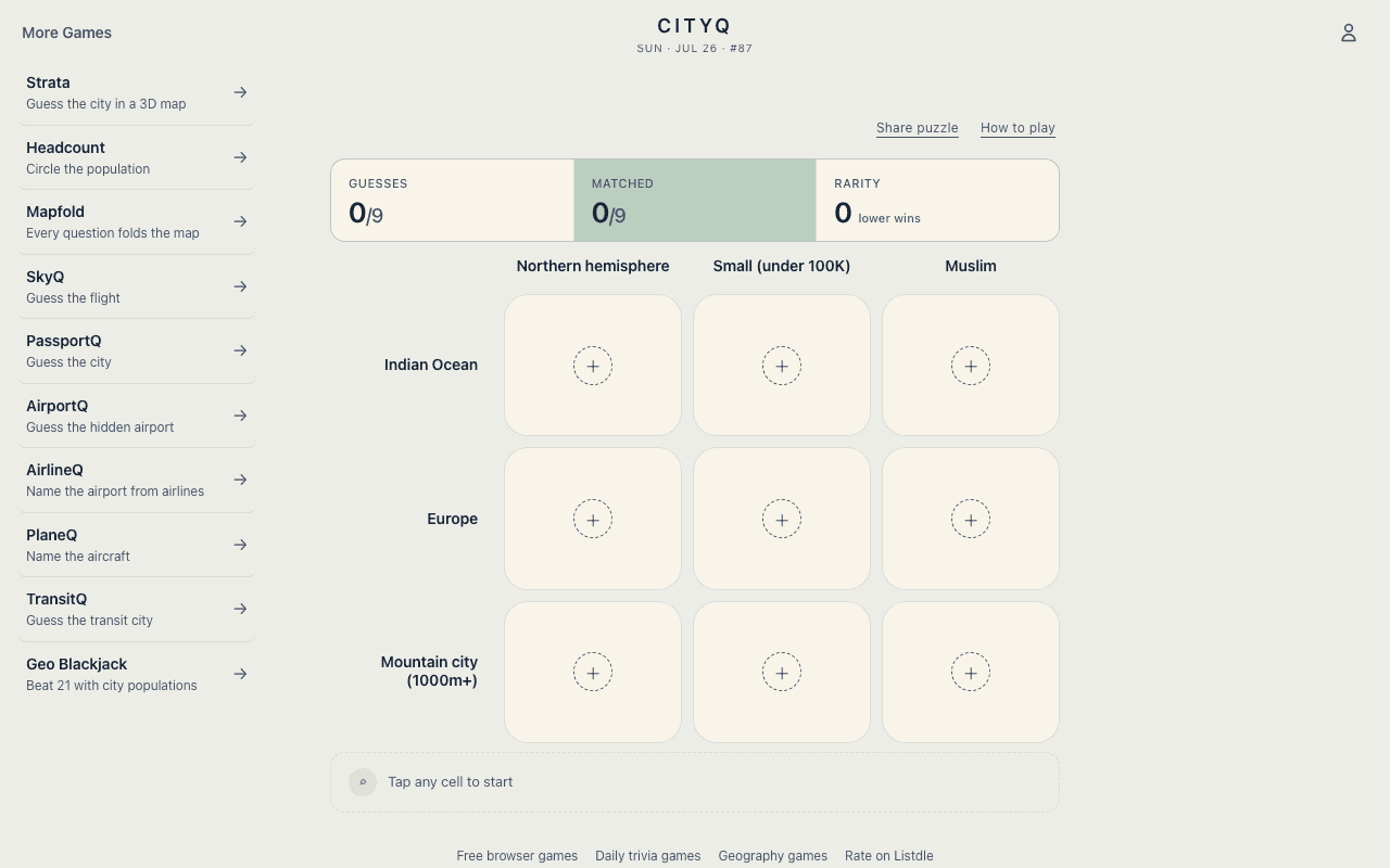
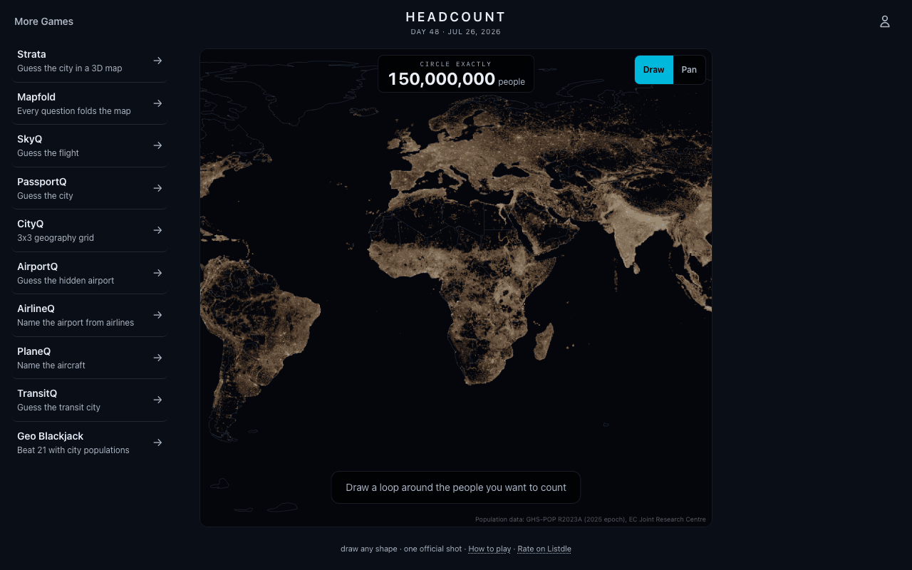
The whole game, including the 3D map, runs in the browser and is built mobile first — no app store required. Two daily pools, US and Canada or Worldwide, each with their own streak. When you want more city deduction after the model is solved, PassportQ, CityQ, and Headcount carry the same geography habit into clues, grids, and population maps.