What the first bare-terrain view shows
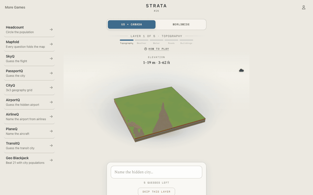
Strata begins with the city stripped to bare 3D terrain. Mountain walls, basins, escarpments, islands, and the direction a valley opens are the only evidence, so a distinctive landform can produce a first-guess solve before any water, streets, or skyline appears.
The five reveal layers
You have five guesses. The opening terrain model is followed by weather, water, roads, and finally buildings after successive misses. Each layer answers a different question: what surrounds the city, how water divides it, how streets respond to the land, and what the built form looks like.
Satellite image versus layered 3D map
If you remember this as a guess-the-city-from-a-satellite-image game, the search phrase is close but not literal. Strata renders an explorable model from real elevation and map data rather than displaying a photograph. That removes clouds and image artifacts and isolates the coastline, river, street grid, terrain, and skyline you use to recognize a city from above.
Worked example: narrow the city one layer at a time
Imagine bare terrain showing a steep bowl beside a broad flat edge. A first guess returns distance feedback and reveals weather; water then confirms a bay, roads show a tight grid squeezed between slopes and shore, and buildings reveal a dense center. Each miss combines a new visual layer with distance feedback, turning a vague landform into a specific city without spoiling the daily answer.