Why elevation is the sneaky-hard comparison
Population has fame as a proxy and temperature has latitude, but elevation hides. Plateau cities sit far higher than their skylines suggest, famous mountain towns can be lower than unglamorous highland capitals, and two cities in the same country can differ by thousands of meters. The quiz works because the correct answer routinely contradicts the picture in your head.
Higher or lower, until you miss
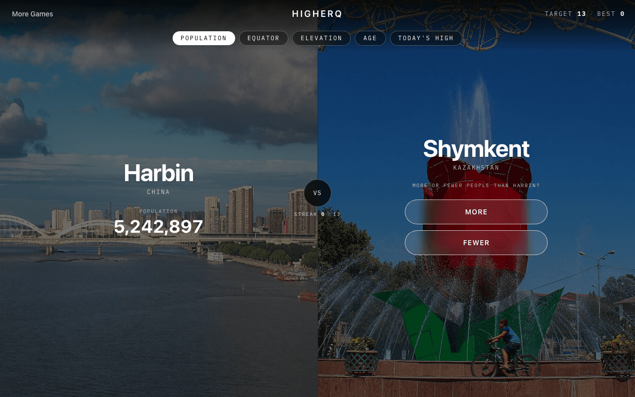
The format is simple: two real cities, one question — which sits higher? Call it right and the streak continues with a new pair; call it wrong and the run ends. Because rounds take seconds, the elevation mode is an easy habit, and because the pairings keep changing, it stays hard long after the obvious matchups are mastered.
Anchors beat memorization
Nobody memorizes elevations city by city. Streaks come from anchors: knowing which regions of the world are high plateau, which capitals were built in mountains, and which famous cities are effectively at sea level. Once you hold a handful of reference altitudes, most rounds become interpolation rather than recall.
Where elevation shows up across FlightQ
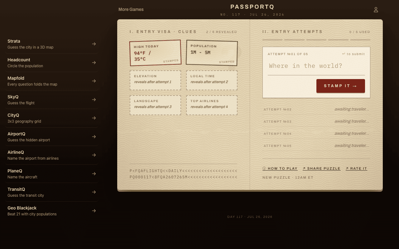
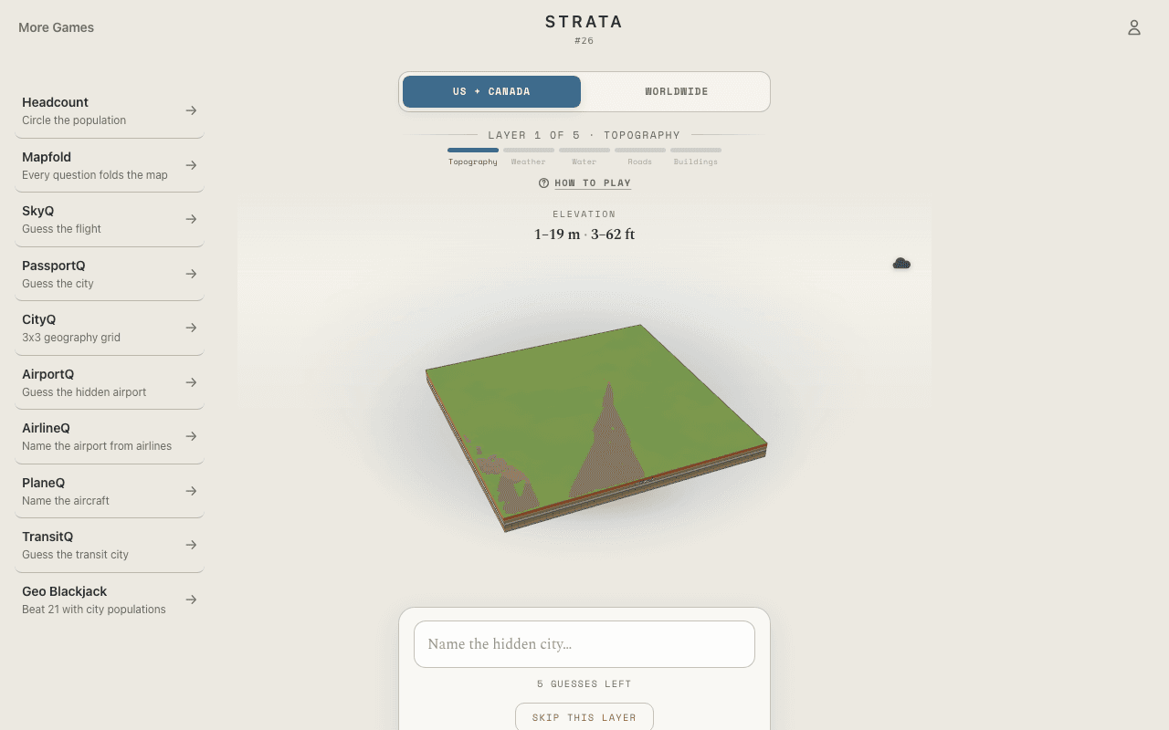
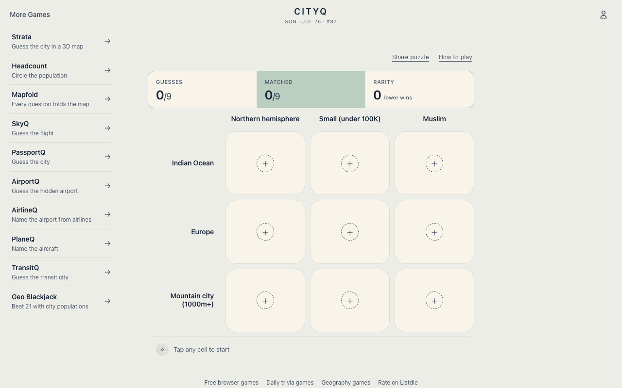
Elevation knowledge compounds. PassportQ uses the mystery city's elevation as one of its core clues, so calibrating altitudes in HigherQ directly improves your city-guessing endgame. Strata makes elevation visible — its mystery city begins as bare 3D terrain built from real elevation data — and CityQ occasionally wants a high-altitude city to satisfy a grid clue. The quiz is the drill; the other games are where it pays off.